Bedrock Engineering has been providing a range of surveying and mapping services for the Madera Quarry since 2010. These services include volume calculations, property and road right-of-way boundary surveys, power line easement staking, topographic surveys, and construction staking.
CRANE VALLEY DAM QUARRY
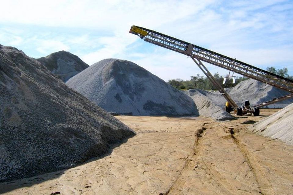
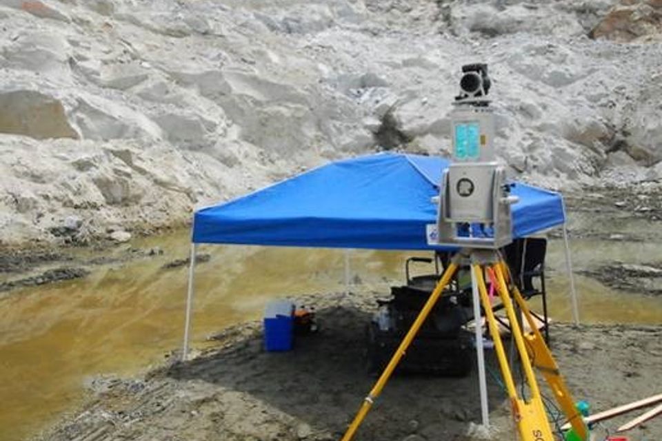
Bedrock Engineering has been providing volume calculations, property and road right-of-way boundaries, power line easement staking, topographic surveys, and construction staking for the Madera Quarry in Bass Lake, California, since 2010. During the retrofitting of Crane Valley Dam, a quarry was created on an 8-acre site to provide up to 300,000 cubic yards of rock. To accurately measure the volume of material removed from the quarry, Bedrock used a 3-D laser scanner to scan the quarry walls over 3 days from 8 different positions, located in the bottom of the quarry and around its perimeter. The scanner provided millions of data points, which were used to calculate accurate volumes for the client.