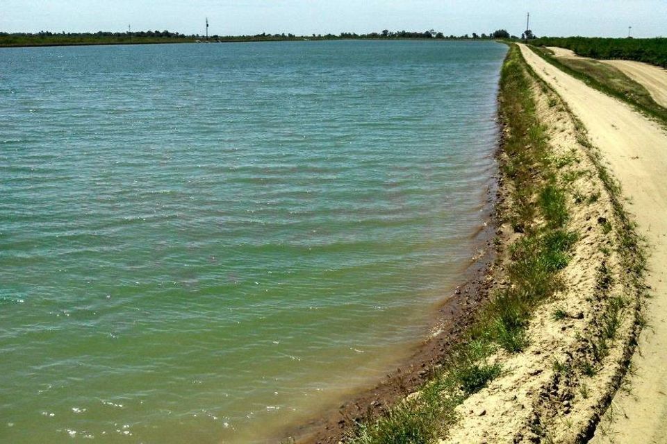
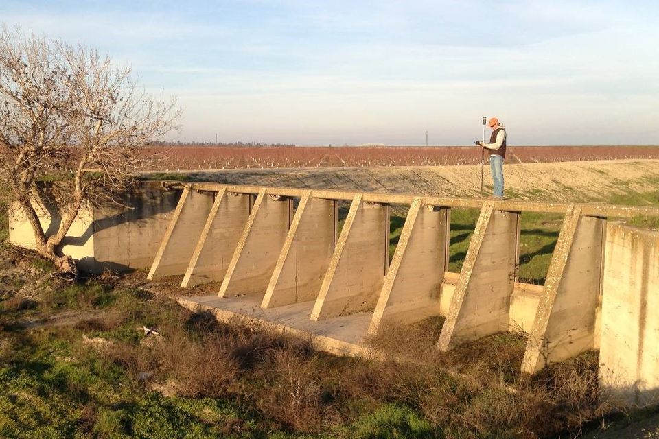
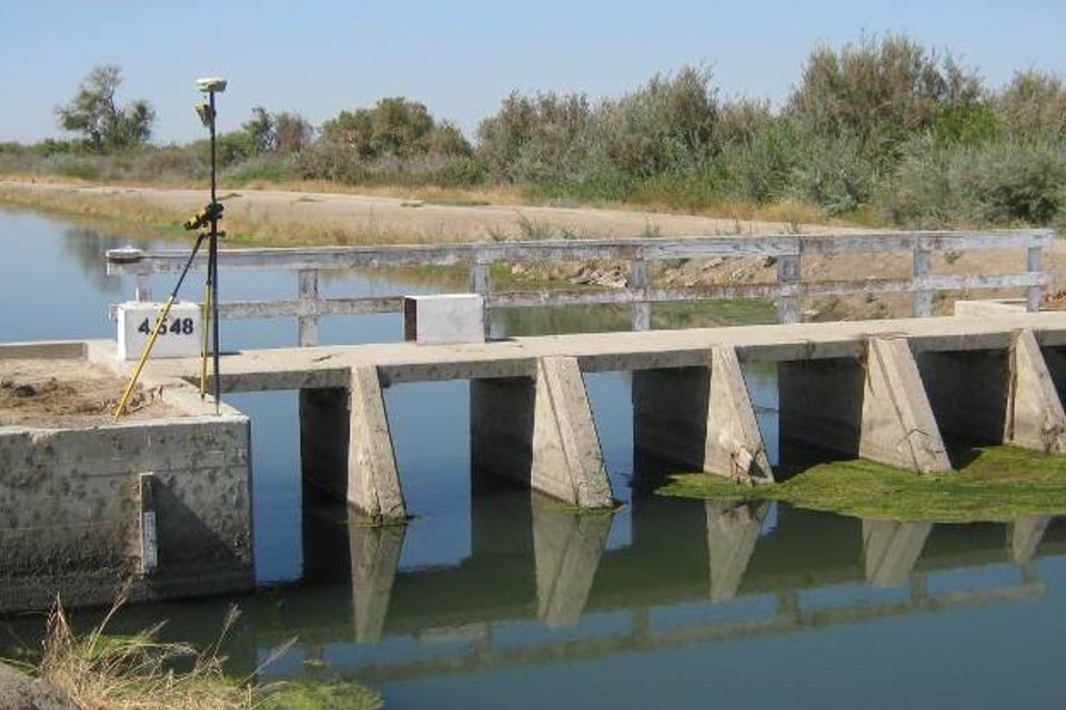
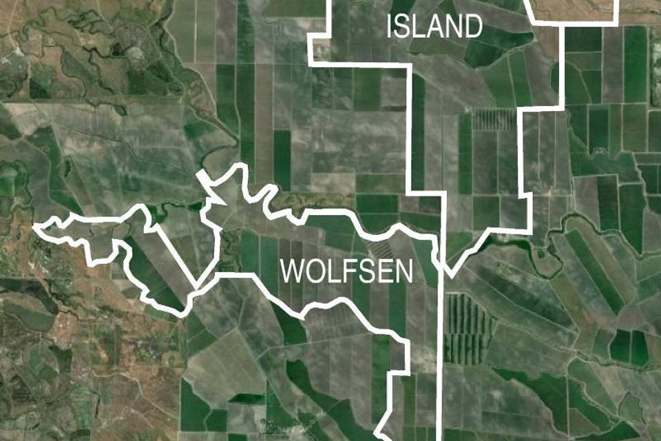
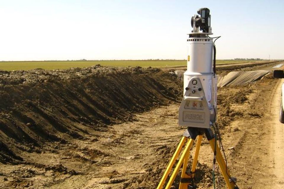
In October 2013, an international farming company contacted Bedrock Engineering to provide boundary surveying and mapping for the purchase of over 8,000 acres of farm land in Merced County, including almost 40 parcels across 30 square miles. The client also needed topographic mapping of all overhead power lines and canal banks throughout the property, totaling over 165 miles, as well as surveying approximately 6 miles of the San Joaquin River for both mapping and boundary considerations. All of this work had to be completed within 7 weeks. To meet this demanding timeline, Bedrock Engineering utilized as many as 4 field crews on any given day to complete the fieldwork, while an additional 4 licensed land surveyors reviewed title documents and deeds, provided calculations for fieldwork, checked field data, and reconciled boundaries. The successful completion of the project was made possible through our combination of flexibility, experience, and talent.
